Lot for sale
310, Rue de Saint-Jovite
Saint-Jérôme
Saint-Jérôme
📐 5,692 sqft
1 200 000 $

 450-694-1313
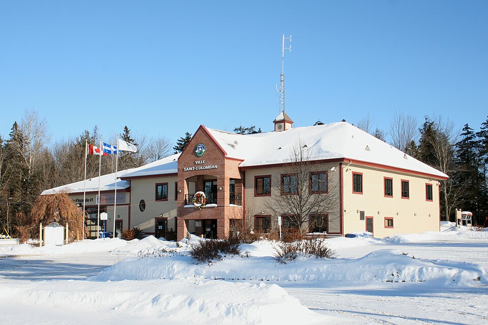
Saint-Colomban is a Canadian town in Quebec, located in the La Rivière-du-Nord Regional County Municipality (MRC) in the Laurentians region.
The Quebec Toponymy Commission writes about it: “A resort town located some 20 km southwest of Saint-Jérôme, Saint-Colomban is bordered by the Rivière du Nord to the south, as well as by Mirabel. The territory was first explored in 1819 by Hilaire Joubert, who obtained the first land grant in this future Laurentian parish.” He was soon followed by several Irish and Scottish settlers passing through Saint-Benoît (now a village in Mirabel) and Saint-Eustache, who together formed a small settlement of 250 inhabitants by 1825. Its almost exclusively Anglo-Celtic population remained dominant until 1920. The records of the Saint-Colomban mission were opened in 1835, and it was established the following year on land detached from Saint-Jérôme. It was not canonically erected as a parish until 1952. In the mid-19th century, the Irish Catholic population had been recruited by the coadjutor of the Diocese of Kingston, Bishop Patrick Phelan (Ballyraget, Ireland, 1795 – Kingston, Upper Canada, 1857); he is considered the founder of the parish. Discouraged by the harsh settler life, many parishioners left Saint-Colomban.
She continues: “Between 1920 and 1940, a number of Slavic immigrants (Russians, Poles, Ukrainians) and French-Canadians swelled the ranks of the population of Columba. The name chosen for both the parish and the municipality established in 1845 – which lost part of its territory in 1857 with the creation of Saint-Canut – and for the post office (St. Columbin, 1851) commemorates the monk Columbanus (Leinster, Ireland, c. 543 – Bobbio, Italy, 615). He evangelized Scotland and Northern England in the 6th century, in addition to establishing monasteries throughout Gaul and Italy. His geographical origin reflects that of the pioneers.” Throughout history, the municipal name has been known by various spellings, including the English forms St. Columban (1831 map) and St. Columbine, the latter appearing on an 1872 map. The parish municipality of Saint-Colomban became a municipality in January 2009 and then a town in November 2010.
Saint-Colomban is located in the Laurentian Mountains. The Rivière du Nord, which flows southwest, forms the southern boundary of the municipality. The Rivière Bellefeuille flows south through the eastern tip of the municipality. In 2016, 1% of Saint-Colomban's territory was agricultural.
Find the home of your dreams among our properties added for sale or rental.
